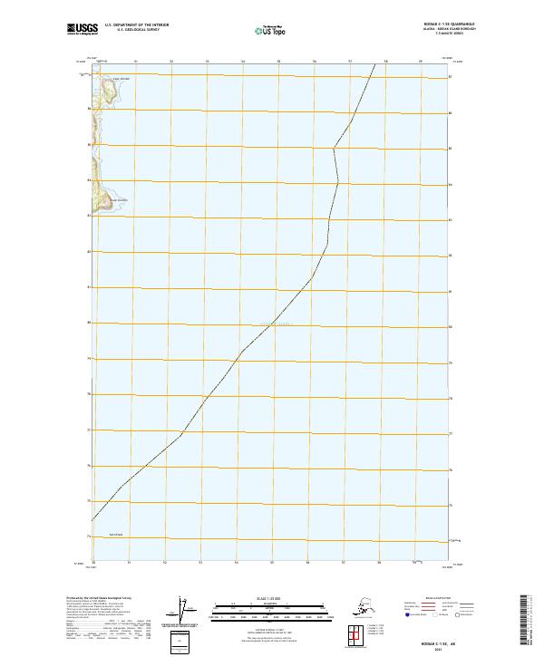
2021 Map of Kodiak C-1 SE
USGS Topo · Published 2021About this map
Cape Chiniak and Cape Greville define the jagged eastern edge of Kodiak Island on this survey, where the terrestrial landscape meets the open waters of the Gulf of Alaska. The interior terrain is marked by the elevations of Twin Peaks, while the presence of Chiniak Lake near the northern coastline suggests the varied hydrography of this coastal region. The map reveals a landscape largely devoid of modern development, focusing instead on the natural coastal features and the underlying Public Land Survey System grids, including t29s r18w and t30s r18w. This 2021 study reflects the coastal geometry of the island as established by the U.S. Geological Survey using modern imagery and hydrography datasets.
Find a feature on this map
7 named features on this map. Tap any name to fly to it.
Don’t see what you’re looking for? This feature index may not catch every label — zoom into the map to look around manually.
Map Details
Editions of this 2021 Kodiak C-1 SE Map
This is the sole edition of this map. No revisions or reprints were ever made.
Other maps of this area

1949 · Kodiak C-1
USGS Topo · 1:63,360

1951 · Kodiak C-1
USGS Topo · 1:63,360

1952 · Kodiak
USGS Topo · 1:250,000
1987 · Kodiak C-1 SW
USGS Topo · 1:25,000
1987 · Kodiak C-1 NW
USGS Topo · 1:25,000
1987 · Kodiak C-1 SE
USGS Topo · 1:25,000
1987 · Kodiak C-1 NE
USGS Topo · 1:25,000
1987 · Kodiak B-1 NW
USGS Topo · 1:25,000
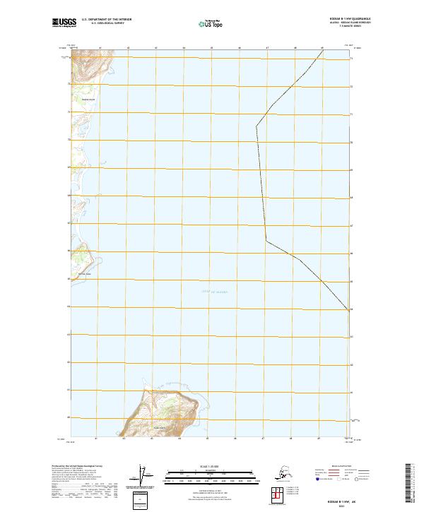
2021 · Kodiak B-1 NW
USGS Topo · 1:25,000
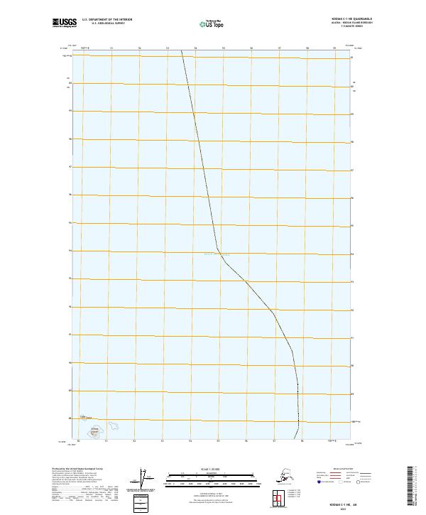
2021 · Kodiak C-1 NE
USGS Topo · 1:25,000