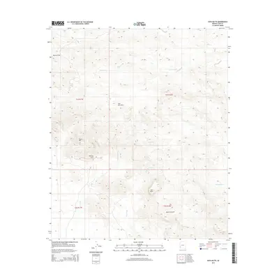
2014 Map of Kofa Butte
USGS Topo · Published 2014About this map
Kofa Mountains dominate this arid landscape in Yuma County, defining a region characterized by complex drainage patterns and sharp topographic relief. The terrain is marked by essential water catchment points such as Raven Tank, Yaqui Tanks, and Moonshine Tank, which provided vital resources in this desert environment. Notable landmarks like Polaris Mtn and the striking Natural Arch stand near the intersection of several significant washes, including Hoodoo Wash and Kofa Dam Wash. In the southern reaches, Kofa Butte rises above Moonshine Gulch, illustrating the erosional forces that have shaped these desert highlands. This 2014 survey records the traditional names of passes and water features that have long guided travel through the Big Horn Pass and across the Yaqui Wash.
Find a feature on this map
17 named features on this map. Tap any name to fly to it.
Don’t see what you’re looking for? This feature index may not catch every label — zoom into the map to look around manually.
Map Details
Editions of this 2014 Kofa Butte Map
This is the sole edition of this map. No revisions or reprints were ever made.
Other maps of this area

1942 · Blythe
USGS Topo · 1:250,000

1942 · Vicksburg
USGS Topo · 1:250,000

1954 · Salton Sea
USGS Topo · 1:250,000

1954 · Phoenix
USGS Topo · 1:250,000

1955 · Salton Sea
USGS Topo · 1:250,000

1957 · Phoenix
USGS Topo · 1:250,000

1958 · Phoenix
USGS Topo · 1:250,000

1959 · Salton Sea
USGS Topo · 1:250,000

1960 · Phoenix
USGS Topo · 1:250,000

1962 · Kofa Butte
USGS Topo · 1:62,500