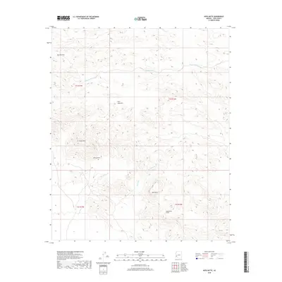
2018 Map of Kofa Butte
USGS Topo · Published 2018About this map
Kofa Butte serves as the central landmark for this arid Yuma County terrain, where drainage patterns and desert peaks define the local geography. The area is dominated by the Kofa Mountains and several significant elevations, including Polaris Mtn and the unique formation at Natural Arch. The landscape is etched by seasonal watercourses such as Hoodoo Wash, Yaqui Wash, and N Star Wash, illustrating the complex natural drainage that dictates travel and survival in this desert environment. Travel through the higher elevations is directed by corridors like Big Horn Pass and the drainage of Moonshine Gulch. The map's detailed topography, derived from modern elevation datasets and census data, provides a clear view of the rugged public land survey system divisions in this part of Arizona.
Find a feature on this map
14 named features on this map. Tap any name to fly to it.
Don’t see what you’re looking for? This feature index may not catch every label — zoom into the map to look around manually.
Map Details
Editions of this 2018 Kofa Butte Map
This is the sole edition of this map. No revisions or reprints were ever made.
Other maps of this area

1942 · Blythe
USGS Topo · 1:250,000

1942 · Vicksburg
USGS Topo · 1:250,000

1954 · Salton Sea
USGS Topo · 1:250,000

1954 · Phoenix
USGS Topo · 1:250,000

1955 · Salton Sea
USGS Topo · 1:250,000

1957 · Phoenix
USGS Topo · 1:250,000

1958 · Phoenix
USGS Topo · 1:250,000

1959 · Salton Sea
USGS Topo · 1:250,000

1960 · Phoenix
USGS Topo · 1:250,000

1962 · Kofa Butte
USGS Topo · 1:62,500