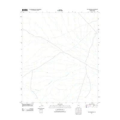
2011 Map of Kofa Deep Well
USGS Topo · Published 2011About this map
McPherson Wash drains the arid expanse of Yuma County in this 2011 topographic survey. The landscape is defined by its scarce water sources, which were historically vital for transit and survival in this corner of Arizona. Vital catchments and improvements like Little White Tanks and Figueroa Tank dot the drainage basins. The eponymous Kofa Deep Well sits in the northeast, marking a specific point of groundwater access amidst the desert terrain. Primary access through this region is provided by the unpaved corridor of King Rd, which traverses the landscape from northwest to southeast, cutting across the natural flow of the washes.
Find a feature on this map
5 named features on this map. Tap any name to fly to it.
Don’t see what you’re looking for? This feature index may not catch every label — zoom into the map to look around manually.
Map Details
Editions of this 2011 Kofa Deep Well Map
This is the sole edition of this map. No revisions or reprints were ever made.
Other maps of this area

1942 · Blythe
USGS Topo · 1:250,000

1942 · Vicksburg
USGS Topo · 1:250,000

1954 · Salton Sea
USGS Topo · 1:250,000

1954 · Phoenix
USGS Topo · 1:250,000

1955 · Salton Sea
USGS Topo · 1:250,000

1957 · Phoenix
USGS Topo · 1:250,000

1958 · Phoenix
USGS Topo · 1:250,000

1959 · Salton Sea
USGS Topo · 1:250,000

1960 · Phoenix
USGS Topo · 1:250,000

1962 · Kofa Butte
USGS Topo · 1:62,500