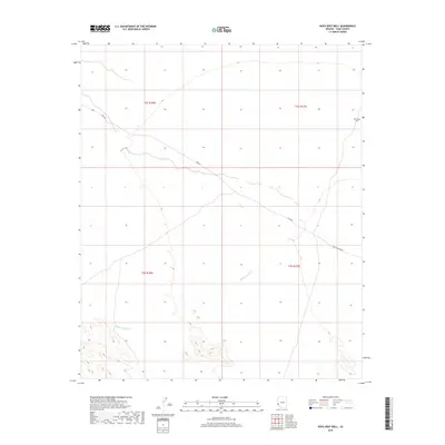
2018 Map of Kofa Deep Well
USGS Topo · Published 2018About this map
McPherson Wash drains through this arid landscape, cutting across a terrain defined by sparse water sources and remote travel corridors. The presence of the Kofa Deep Well in the northeastern corner of the sheet highlights the critical importance of localized water infrastructure in this portion of Yuma County. Transportation is facilitated by two primary routes that intersect the desert floor: King Rd, which traverses diagonally across the central sections, and Wellton Kofa Rd, entering from the southeast. These roads follow the natural contours of the basin, providing a record of the modern infrastructure required to navigate the open expanses of the Southwest. The map also delineates township and range boundaries including t2s r18w and t3s r17w, which provide essential spatial context for land surveys and historical property research in this region.
Find a feature on this map
8 named features on this map. Tap any name to fly to it.
Don’t see what you’re looking for? This feature index may not catch every label — zoom into the map to look around manually.
Map Details
Editions of this 2018 Kofa Deep Well Map
This is the sole edition of this map. No revisions or reprints were ever made.
Other maps of this area

1942 · Blythe
USGS Topo · 1:250,000

1942 · Vicksburg
USGS Topo · 1:250,000

1954 · Salton Sea
USGS Topo · 1:250,000

1954 · Phoenix
USGS Topo · 1:250,000

1955 · Salton Sea
USGS Topo · 1:250,000

1957 · Phoenix
USGS Topo · 1:250,000

1958 · Phoenix
USGS Topo · 1:250,000

1959 · Salton Sea
USGS Topo · 1:250,000

1960 · Phoenix
USGS Topo · 1:250,000

1962 · Kofa Butte
USGS Topo · 1:62,500