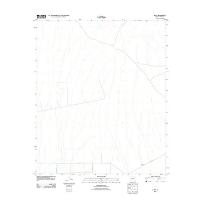
2011 Map of Kofa
USGS Topo · Published 2011About this map
Kofa sits in the southeastern corner of this arid landscape, serving as a primary point of reference in a region defined by its sparse infrastructure. The terrain is marked by numerous dry washes and ephemeral drainages that flow southward through the desert floor. Movement through the area is guided by a small network of rural routes, including Palomas Rd, which connects the eastern portion of the map to the settlement. To the west, a grid-like system of gravel roads including Avenue 55E and Co 5th St S illustrates the early planning and parceling of this remote part of Yuma County. The survey provides a clear look at the agricultural or residential layout emerging near Co 4th St S and Avenue 56E before these desert corridors transition back into the natural wash patterns of the surrounding basin.
Find a feature on this map
6 named features on this map. Tap any name to fly to it.
Don’t see what you’re looking for? This feature index may not catch every label — zoom into the map to look around manually.
Map Details
Editions of this 2011 Kofa Map
This is the sole edition of this map. No revisions or reprints were ever made.
Other maps of this area

1928 · Norton
USGS Topo · 1:62,500

1929 · Norton
USGS Topo · 1:62,500

1930 · Stoval
USGS Topo · 1:62,500

1942 · Vicksburg
USGS Topo · 1:250,000

1950 · Stoval
USGS Topo · 1:62,500

1953 · Ajo
USGS Topo · 1:250,000

1954 · Phoenix
USGS Topo · 1:250,000

1955 · Growler
USGS Topo · 1:24,000

1955 · Roll
USGS Topo · 1:62,500

1957 · Ajo
USGS Topo · 1:250,000