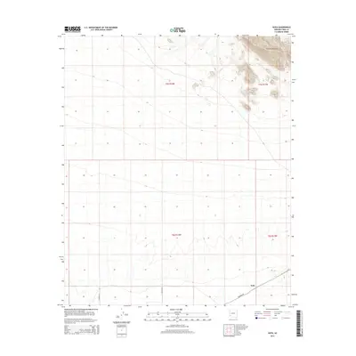
2014 Map of Kofa
USGS Topo · Published 2014About this map
Kofa sits in the high desert of Yuma County, positioned where the southern foothills of the Palomas Mountains meet the vast alluvial plains. This 2014 survey captures a landscape defined by the Public Land Survey System grid, which segments the arid terrain into townships like t5s r14w and t6s r13w. Transportation across this sparse environment is primarily supported by the diagonal corridor of Palomas Rd, which provides the central link between isolated rural avenues. The map reveals the stark contrast between the steep elevation of the mountains in the northeast corner and the flat, surveyed sections to the south, reflecting the intersection of natural desert topography with human spatial organization in the American Southwest.
Find a feature on this map
9 named features on this map. Tap any name to fly to it.
Don’t see what you’re looking for? This feature index may not catch every label — zoom into the map to look around manually.
Map Details
Editions of this 2014 Kofa Map
This is the sole edition of this map. No revisions or reprints were ever made.
Other maps of this area

1928 · Norton
USGS Topo · 1:62,500

1929 · Norton
USGS Topo · 1:62,500

1930 · Stoval
USGS Topo · 1:62,500

1942 · Vicksburg
USGS Topo · 1:250,000

1950 · Stoval
USGS Topo · 1:62,500

1953 · Ajo
USGS Topo · 1:250,000

1954 · Phoenix
USGS Topo · 1:250,000

1955 · Growler
USGS Topo · 1:24,000

1955 · Roll
USGS Topo · 1:62,500

1957 · Ajo
USGS Topo · 1:250,000