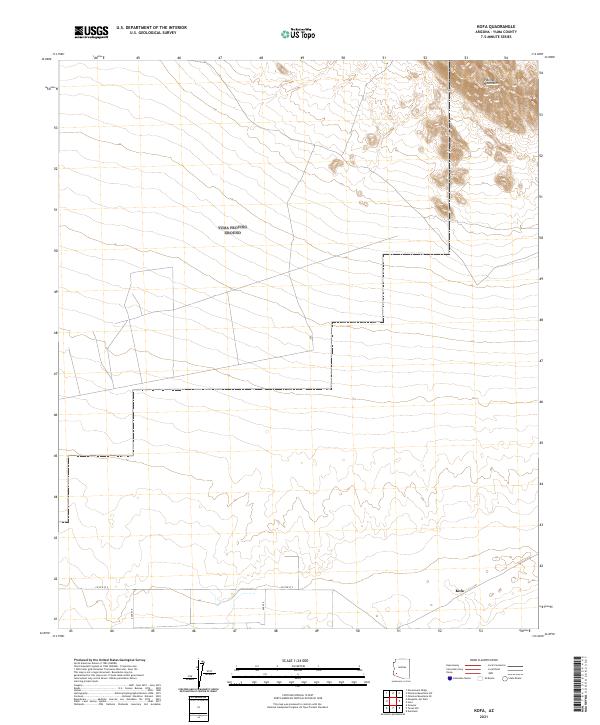
2021 Map of Kofa
USGS Topo · Published 2021About this map
The Palomas Mountains dominate the northeastern corner of this Yuma County landscape, their distinctive contours providing a stark contrast to the surrounding desert flats. At the heart of the lower terrain lies the small settlement of Kofa, positioned near the intersection of a local grid system that includes Co 5th St S and S Ave 53 E. This area reflects the characteristic rural development of southwestern Arizona, where land is precisely partitioned by the Public Land Survey System as evidenced by the township lines of t5s r14w and t6s r14w. The map illustrates a remote environment where infrastructure is focused on a few key thoroughfares like Ave 55e, serving the sparse population in this arid region. The arrangement of these roads suggests a landscape managed for access through open desert rather than dense residential growth.
Find a feature on this map
10 named features on this map. Tap any name to fly to it.
Don’t see what you’re looking for? This feature index may not catch every label — zoom into the map to look around manually.
Map Details
Editions of this 2021 Kofa Map
This is the sole edition of this map. No revisions or reprints were ever made.
Other maps of this area

1928 · Norton
USGS Topo · 1:62,500

1929 · Norton
USGS Topo · 1:62,500

1930 · Stoval
USGS Topo · 1:62,500

1942 · Vicksburg
USGS Topo · 1:250,000

1950 · Stoval
USGS Topo · 1:62,500

1953 · Ajo
USGS Topo · 1:250,000

1954 · Phoenix
USGS Topo · 1:250,000

1955 · Growler
USGS Topo · 1:24,000

1955 · Roll
USGS Topo · 1:62,500

1957 · Ajo
USGS Topo · 1:250,000