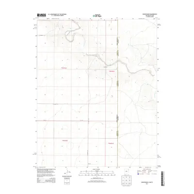
2013 Map of Koger Ranch
USGS Topo · Published 2013About this map
Koger Ranch sits at the center of this high plains survey, marking the intersection of the New Mexico and Texas state lines. This corner of Union County is characterized by the winding path of Tramperos Creek and Punta de Agua Creek, which carve distinct drainages through the township and range grids. The landscape is defined by its rural connectivity, with several county thoroughfares providing access to this interstate borderland. These include CO Highway C-114 and CO Highway C-112, alongside localized routes like Hall Rd and Wcha Rd. The mapping of these drainages and road networks provides a clear record of the modern ranching infrastructure that sustains this remote region, where the legal boundary between New Mexico and Texas remains the primary geographic marker.
Find a feature on this map
16 named features on this map. Tap any name to fly to it.
Don’t see what you’re looking for? This feature index may not catch every label — zoom into the map to look around manually.
Map Details
Editions of this 2013 Koger Ranch Map
This is the sole edition of this map. No revisions or reprints were ever made.
Other maps of this area

1954 · Tucumcari
USGS Topo · 1:250,000

1954 · Dalhart
USGS Topo · 1:250,000

1958 · Tucumcari
USGS Topo · 1:250,000

1958 · Dalhart
USGS Topo · 1:250,000

1962 · Dalhart
USGS Topo · 1:250,000

1970 · Stead
USGS Topo · 1:24,000

1970 · Sedan SE
USGS Topo · 1:24,000

1971 · Koger Ranch
USGS Topo · 1:24,000

1971 · Centerville Corner
USGS Topo · 1:24,000

1971 · Amistad SE
USGS Topo · 1:24,000