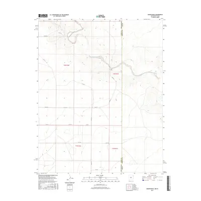
2017 Map of Koger Ranch
USGS Topo · Published 2017About this map
Koger Ranch serves as a central landmark in this high plains landscape of the New Mexico and Texas borderlands. This 2017 survey shows a region defined by its watercourses and rural road network, with the northern terrain carved by the winding path of Tramperos Creek. Further south, Punta de Agua Creek cuts through the eastern sections near the Union County and Hartley County line. The map captures a transition point between states, where cattle ranching and land management are facilitated by a grid of local routes such as Tompkins Rd, Kroger Rd, and Hall Rd. These roads navigate the township and range divisions, including t20n r36e and t19n r37e, illustrating the enduring spatial organization of the modern American West.
Find a feature on this map
20 named features on this map. Tap any name to fly to it.
Don’t see what you’re looking for? This feature index may not catch every label — zoom into the map to look around manually.
Map Details
Editions of this 2017 Koger Ranch Map
This is the sole edition of this map. No revisions or reprints were ever made.
Other maps of this area

1954 · Tucumcari
USGS Topo · 1:250,000

1954 · Dalhart
USGS Topo · 1:250,000

1958 · Tucumcari
USGS Topo · 1:250,000

1958 · Dalhart
USGS Topo · 1:250,000

1962 · Dalhart
USGS Topo · 1:250,000

1970 · Stead
USGS Topo · 1:24,000

1970 · Sedan SE
USGS Topo · 1:24,000

1971 · Koger Ranch
USGS Topo · 1:24,000

1971 · Centerville Corner
USGS Topo · 1:24,000

1971 · Amistad SE
USGS Topo · 1:24,000