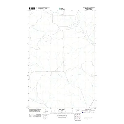
2011 Map of Kolberg Ranch
USGS Topo · Published 2011About this map
Kolberg Ranch is the primary landmark of this sparsely populated Dawson County landscape, situated where the high plains are carved by an intricate network of seasonal drainages. The local geography is defined by the east-flowing Thirteenmile Creek and its tributary, the South Fork Thirteenmile Creek, which create a complex system of draws and coulees in the northern portion of the quadrangle. To the south, the terrain falls away toward Morgan Creek and Corom Creek, while Lower Sevenmile Creek marks the southwestern boundary. This 2011 survey by the U.S. Geological Survey shows a rural infrastructure of gravel roads and section lines, with Road 539 and Road 548 providing the main access routes through this isolated ranching country.
Find a feature on this map
11 named features on this map. Tap any name to fly to it.
Don’t see what you’re looking for? This feature index may not catch every label — zoom into the map to look around manually.
Map Details
Editions of this 2011 Kolberg Ranch Map
This is the sole edition of this map. No revisions or reprints were ever made.
Other maps of this area

1909 · Glendive
USGS Topo · 1:250,000

1954 · Glendive
USGS Topo · 1:250,000

1957 · Glendive
USGS Topo · 1:250,000

1958 · Glendive
USGS Topo · 1:250,000

1966 · Kolberg Ranch
USGS Topo · 1:24,000

1966 · Intake
USGS Topo · 1:24,000

1966 · Intake NW
USGS Topo · 1:24,000

1966 · Allard Ranch
USGS Topo · 1:24,000

1967 · Stipek
USGS Topo · 1:24,000

1967 · Belle Prairie
USGS Topo · 1:24,000