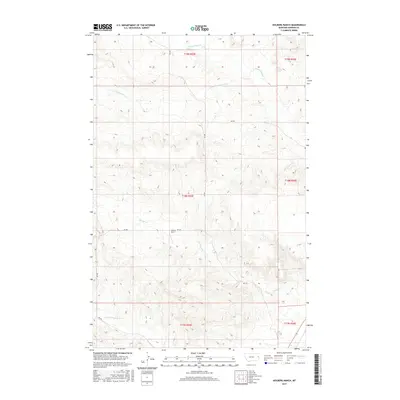
2017 Map of Kolberg Ranch
USGS Topo · Published 2017About this map
Kolberg Ranch serves as a primary landmark in this rural Dawson County landscape, situated where the drainage systems of the Montana plains converge. The topography is defined by the winding paths of Thirteenmile Cr and its S Fork Thirteenmile Cr in the north, while Morgan Cr and Cottonwood Cr carve through the southern reaches. This 2017 survey details a remote ranching environment where the section lines of the Public Land Survey System, including t18n r55e, dictate the layout of the land and its few access roads. Local routes like RD 539 and RD 548 provide the only significant infrastructure through these undulating breaks and coulees, illustrating the persistent isolation of the region's agricultural outposts.
Find a feature on this map
17 named features on this map. Tap any name to fly to it.
Don’t see what you’re looking for? This feature index may not catch every label — zoom into the map to look around manually.
Map Details
Editions of this 2017 Kolberg Ranch Map
This is the sole edition of this map. No revisions or reprints were ever made.
Other maps of this area

1909 · Glendive
USGS Topo · 1:250,000

1954 · Glendive
USGS Topo · 1:250,000

1957 · Glendive
USGS Topo · 1:250,000

1958 · Glendive
USGS Topo · 1:250,000

1966 · Kolberg Ranch
USGS Topo · 1:24,000

1966 · Intake
USGS Topo · 1:24,000

1966 · Intake NW
USGS Topo · 1:24,000

1966 · Allard Ranch
USGS Topo · 1:24,000

1967 · Stipek
USGS Topo · 1:24,000

1967 · Belle Prairie
USGS Topo · 1:24,000