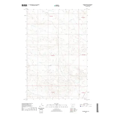
2020 Map of Kolberg Ranch
USGS Topo · Published 2020About this map
Kolberg Ranch serves as a primary point of reference in this pocket of Dawson County, Montana, situated at the junction of RD 548 and RD 539. The landscape is defined by an intricate network of seasonal drainage and creek beds, most notably Thirteenmile Cr and its S Fork Thirteenmile Cr in the north, while Morgan Cr and Cotton Cr carve through the southern sections. This modern survey illustrates the expansive, open-range character of the region, where rural infrastructure is limited to a sparse grid of county roads. The mapping reveals how ranching operations like Kolberg Ranch utilize the natural topography of the creek basins, providing a clear record of land use and water access in the eastern Montana plains during the early 21st century.
Find a feature on this map
17 named features on this map. Tap any name to fly to it.
Don’t see what you’re looking for? This feature index may not catch every label — zoom into the map to look around manually.
Map Details
Editions of this 2020 Kolberg Ranch Map
This is the sole edition of this map. No revisions or reprints were ever made.
Other maps of this area

1909 · Glendive
USGS Topo · 1:250,000

1954 · Glendive
USGS Topo · 1:250,000

1957 · Glendive
USGS Topo · 1:250,000

1958 · Glendive
USGS Topo · 1:250,000

1966 · Kolberg Ranch
USGS Topo · 1:24,000

1966 · Intake
USGS Topo · 1:24,000

1966 · Intake NW
USGS Topo · 1:24,000

1966 · Allard Ranch
USGS Topo · 1:24,000

1967 · Stipek
USGS Topo · 1:24,000

1967 · Belle Prairie
USGS Topo · 1:24,000