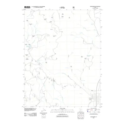
2011 Map of Koosharem
USGS Topo · Published 2011About this map
Koosharem sits at the base of the high plateau, serving as the primary hub for this Sevier County landscape where the valley floor meets complex mountain drainage systems. The settlement pattern is defined by water management and access, highlighted by the Magelby Dam and Magelby Reservoir, which capture runoff from Reservoir Creek. Local history is anchored by the Koosharem Cemetery and the Koosharem Campground, reflecting the long-standing community footprint near the banks of Koosharem Creek.
Find a feature on this map
49 named features on this map. Tap any name to fly to it.
Don’t see what you’re looking for? This feature index may not catch every label — zoom into the map to look around manually.
Map Details
Editions of this 2011 Koosharem Map
This is the sole edition of this map. No revisions or reprints were ever made.
Other maps of this area

1885 · Beaver
USGS Topo · 1:250,000

1885 · Fish Lake
USGS Topo · 1:250,000

1896 · Fish Lake
USGS Topo · 1:250,000

1940 · Monroe
USGS Topo · 1:62,500

1944 · Monroe
USGS Topo · 1:62,500

1945 · Marysvale
USGS Topo · 1:62,500

1947 · Marysvale
USGS Topo · 1:62,500

1953 · Richfield
USGS Topo · 1:250,000

1956 · Salina
USGS Topo · 1:250,000

1958 · Richfield
USGS Topo · 1:250,000