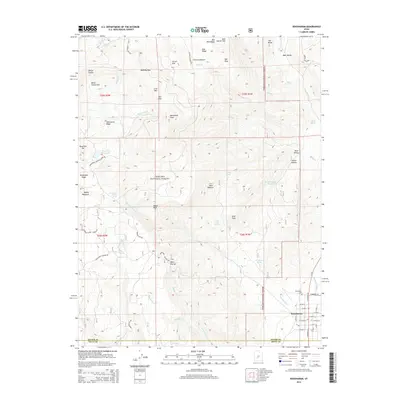
2014 Map of Koosharem
USGS Topo · Published 2014About this map
Koosharem sits at the intersection of local mountain and valley life, serving as a hub for the agricultural and ranching efforts in this part of Grass Valley. The town’s grid is clearly defined, with the Koosharem Post Office and Koosharem Cem providing key points of interest for genealogists and local historians. Water management is a primary theme of the landscape, illustrated by the Koosharem Canal and nearby storage sites like Wood Hollow Reservoir and Magelby Reservoir.
Find a feature on this map
72 named features on this map. Tap any name to fly to it.
Don’t see what you’re looking for? This feature index may not catch every label — zoom into the map to look around manually.
Map Details
Editions of this 2014 Koosharem Map
This is the sole edition of this map. No revisions or reprints were ever made.
Other maps of this area

1885 · Beaver
USGS Topo · 1:250,000

1885 · Fish Lake
USGS Topo · 1:250,000

1896 · Fish Lake
USGS Topo · 1:250,000

1940 · Monroe
USGS Topo · 1:62,500

1944 · Monroe
USGS Topo · 1:62,500

1945 · Marysvale
USGS Topo · 1:62,500

1947 · Marysvale
USGS Topo · 1:62,500

1953 · Richfield
USGS Topo · 1:250,000

1956 · Salina
USGS Topo · 1:250,000

1958 · Richfield
USGS Topo · 1:250,000