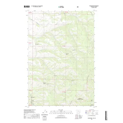
2020 Map of Kooskooskie
USGS Topo · Published 2020About this map
Kooskooskie sits at the foot of steep canyon walls where Railroad Canyon and Mill Creek Rd follow the drainage into the high country of the Umatilla National Forest. This landscape is defined by its deep, parallel drainages and prominent ridges, including Biscuit Ridge, Blacksnake Ridge, and Green Ridge. The northern portion of the map shows a shift toward upland agriculture and scattered homesteads near Five Points, while the southern reaches are dominated by the protected terrain of the Mill Creek Watershed. Numerous water sources such as Gold Spring, Sheep Spring, and the headwaters of Blue Cr highlight the vital hydrography that sustains this part of Walla Walla County. The network of forestry and fire roads, such as Lewis Peak Rd and S Fork Coppei Rd, provides a clear view of how these high ridges were accessed and managed.
Find a feature on this map
41 named features on this map. Tap any name to fly to it.
Don’t see what you’re looking for? This feature index may not catch every label — zoom into the map to look around manually.
Map Details
Editions of this 2020 Kooskooskie Map
This is the sole edition of this map. No revisions or reprints were ever made.
Other maps of this area

1919 · Walla Walla
USGS Topo · 1:125,000

1921 · Walla Walla
USGS Topo · 1:125,000

1937 · Pomeroy
USGS Topo · 1:96,000

1942 · Pomeroy
USGS Topo · 1:125,000

1953 · Pendleton
USGS Topo · 1:250,000

1953 · Walla Walla
USGS Topo · 1:250,000

1955 · Pullman
USGS Topo · 1:250,000

1955 · Grangeville
USGS Topo · 1:250,000

1956 · Pendleton
USGS Topo · 1:250,000

1958 · Pullman
USGS Topo · 1:250,000