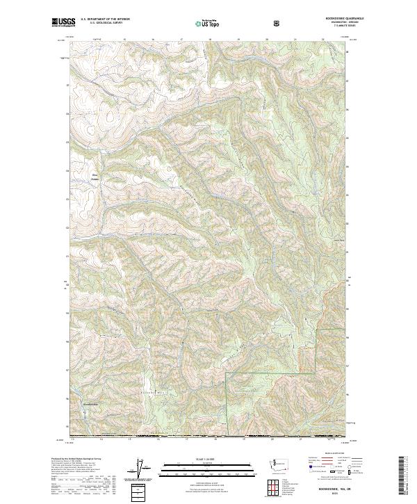
2023 Map of Kooskooskie
USGS Topo · Published 2023About this map
Kooskooskie and Five Points anchor the western edge of this Walla Walla County terrain, where the foothills of the Blue Mountains rise toward the Umatilla National Forest. The landscape is defined by a series of prominent ridges, including Biscuit Ridge, Blacksnake Ridge, and Green Ridge, which separate the deep drainages of Mill Creek and Dry Creek. High elevations are marked by Lewis Peak and Klicker Mtn, providing a detailed look at the watershed divide between the various forks of South Fork Coppei Creek and the southern canyons.
Find a feature on this map
38 named features on this map. Tap any name to fly to it.
Don’t see what you’re looking for? This feature index may not catch every label — zoom into the map to look around manually.
Map Details
Editions of this 2023 Kooskooskie Map
This is the sole edition of this map. No revisions or reprints were ever made.
Other maps of this area

1919 · Walla Walla
USGS Topo · 1:125,000

1921 · Walla Walla
USGS Topo · 1:125,000

1937 · Pomeroy
USGS Topo · 1:96,000

1942 · Pomeroy
USGS Topo · 1:125,000

1953 · Pendleton
USGS Topo · 1:250,000

1953 · Walla Walla
USGS Topo · 1:250,000

1955 · Pullman
USGS Topo · 1:250,000

1955 · Grangeville
USGS Topo · 1:250,000

1956 · Pendleton
USGS Topo · 1:250,000

1958 · Pullman
USGS Topo · 1:250,000