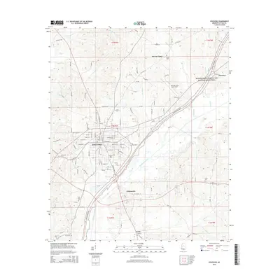
2015 Map of Kosciusko
USGS Topo · Published 2015About this map
Kosciusko serves as the focal point of this Mississippi landscape, showing a dense street grid that includes Dr Martin Luther King Dr and E Adams St. The town is the site of the Magnolia Bible Coll and is bordered by the Yockanookany River to the south. Historically significant corridors, most notably the Natchez Trace Parkway and National Scenic Trail, cut diagonally through the region, reflecting the area's long-standing role as a transit waypoint.
Find a feature on this map
133 named features on this map. Tap any name to fly to it.
Don’t see what you’re looking for? This feature index may not catch every label — zoom into the map to look around manually.
Map Details
Editions of this 2015 Kosciusko Map
This is the sole edition of this map. No revisions or reprints were ever made.
Other maps of this area

1953 · Meridian
USGS Topo · 1:250,000

1953 · West Point
USGS Topo · 1:250,000

1957 · Meridian
USGS Topo · 1:250,000

1958 · West Point
USGS Topo · 1:250,000

1962 · Edinburg
USGS Topo · 1:62,500

1962 · Thomastown
USGS Topo · 1:62,500

1963 · West Point
USGS Topo · 1:250,000

1964 · Kosciusko NE
USGS Topo · 1:24,000

1964 · Hesterville
USGS Topo · 1:24,000

1964 · Kosciusko
USGS Topo · 1:24,000