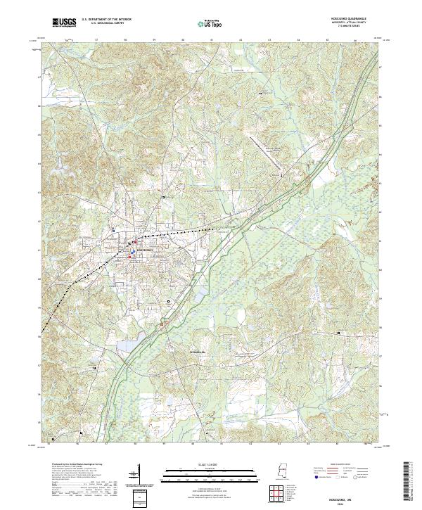
2024 Map of Kosciusko
USGS Topo · Published 2024About this map
Kosciusko serves as the central hub for the surrounding Attala County landscape, where the urban grid of the city meets the winding course of the Yockanookany River. This modern survey details the local civic infrastructure, including the Attala County Courthouse and the Attala County Chancery Court Building, while the Natchez Trace Parkway cuts a diagonal path through the southeastern terrain. The map provides a high-resolution record of the region's cemeteries, such as Presley Cem, Marvin Chapel Cem, and West Union Cem, which offer significant value for genealogical researchers tracing family plots across the township lines of T14N R7E and T14N R8E. To the south, the settlement of Williamsville sits near the confluence of several local waterways including Munson Creek and Conehoma Creek, illustrating how the historic drainage patterns of the upper Pearl River basin continue to influence the modern road network and land divisions.
Find a feature on this map
128 named features on this map. Tap any name to fly to it.
Don’t see what you’re looking for? This feature index may not catch every label — zoom into the map to look around manually.
Map Details
Editions of this 2024 Kosciusko Map
This is the sole edition of this map. No revisions or reprints were ever made.
Other maps of this area

1953 · Meridian
USGS Topo · 1:250,000

1953 · West Point
USGS Topo · 1:250,000

1957 · Meridian
USGS Topo · 1:250,000

1958 · West Point
USGS Topo · 1:250,000

1962 · Edinburg
USGS Topo · 1:62,500

1962 · Thomastown
USGS Topo · 1:62,500

1963 · West Point
USGS Topo · 1:250,000

1964 · Kosciusko NE
USGS Topo · 1:24,000

1964 · Hesterville
USGS Topo · 1:24,000

1964 · Kosciusko
USGS Topo · 1:24,000