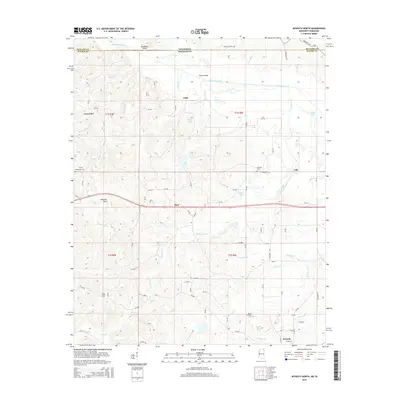
2015 Map of Kossuth North
USGS Topo · Published 2015About this map
The Tuscumbia River meanders across the border of Alcorn County and McNairy County, defining the rural landscape between Mississippi and Tennessee. This 2015 survey details a series of small, dispersed communities including Cuba, Theo, and Gift, which are interconnected by a network of county roads. The terrain is marked by distinctive elevations such as Backbone Point and the Hatchie Hills, while the lowlands are drained by numerous named waterways like Tarebreeches Cr and Beaverdam Cr. Researchers can locate several burial sites throughout the region, including Bethlehem Cem, Oak Grove Cem, and Lebanon Cem, providing valuable points of reference for local genealogy. Near the southern edge of the map, the settlement of Kossuth serves as a local hub near Mount Pleasant Cem, surrounded by a landscape of timbered hills and creek bottoms.
Find a feature on this map
93 named features on this map. Tap any name to fly to it.
Don’t see what you’re looking for? This feature index may not catch every label — zoom into the map to look around manually.
Map Details
Editions of this 2015 Kossuth North Map
This is the sole edition of this map. No revisions or reprints were ever made.
Other maps of this area

1950 · Corinth
USGS Topo · 1:62,500

1950 · Pocahontas
USGS Topo · 1:24,000

1951 · Chewalla
USGS Topo · 1:24,000

1951 · Guys
USGS Topo · 1:24,000

1951 · Walnut
USGS Topo · 1:62,500

1952 · Pocahontas
USGS Topo · 1:24,000

1956 · Blytheville
USGS Topo · 1:250,000

1956 · Tupelo
USGS Topo · 1:250,000

1958 · Tupelo
USGS Topo · 1:250,000

1959 · Blytheville
USGS Topo · 1:250,000