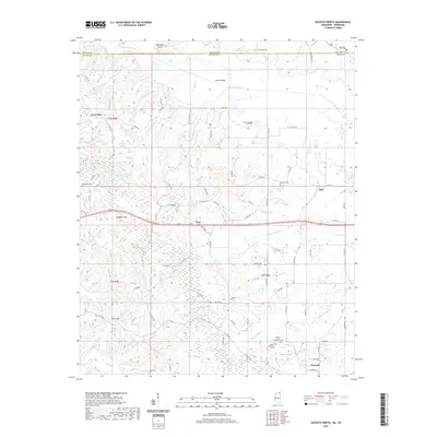
2020 Map of Kossuth North
USGS Topo · Published 2020About this map
Kossuth sits at the southern edge of this landscape where the hills of Alcorn County meet a dense network of creek bottoms. The area is defined by its small, dispersed settlements like Theo, Gift, and Lone Pine, linked by a web of county roads that navigate the complex hydrology of the Tuscumbia River and its many tributaries. For genealogists, the map is a significant record of local heritage, preserving the locations of several burial grounds including Liberty African American Cem and Mount Pleasant Cem. The terrain shifts from the elevations of Backbone Point and the Hatchie Hills in the north to the low-lying drainage basins of Underwood Cr and McElroy Cr further south. This 2020 survey illustrates a modern rural landscape where traditional landmarks like Butler Bridge and Pine Mtn remain central to the community's geographic identity.
Find a feature on this map
92 named features on this map. Tap any name to fly to it.
Don’t see what you’re looking for? This feature index may not catch every label — zoom into the map to look around manually.
Map Details
Editions of this 2020 Kossuth North Map
This is the sole edition of this map. No revisions or reprints were ever made.
Other maps of this area

1950 · Corinth
USGS Topo · 1:62,500

1950 · Pocahontas
USGS Topo · 1:24,000

1951 · Chewalla
USGS Topo · 1:24,000

1951 · Guys
USGS Topo · 1:24,000

1951 · Walnut
USGS Topo · 1:62,500

1952 · Pocahontas
USGS Topo · 1:24,000

1956 · Blytheville
USGS Topo · 1:250,000

1956 · Tupelo
USGS Topo · 1:250,000

1958 · Tupelo
USGS Topo · 1:250,000

1959 · Blytheville
USGS Topo · 1:250,000