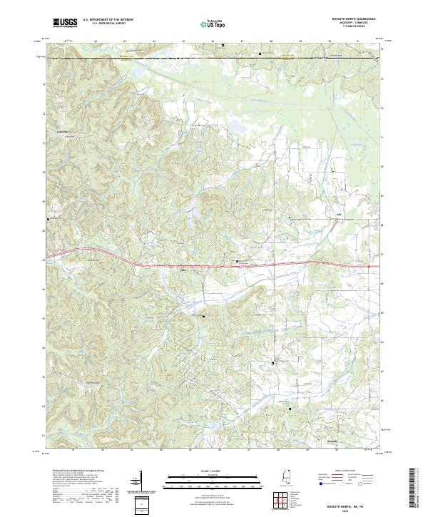
2024 Map of Kossuth North
USGS Topo · Published 2024About this map
The Tuscumbia River meanders across the border between Alcorn County, Mississippi, and McNairy County, Tennessee, anchoring a landscape defined by small rural hubs and historical burial grounds. Small settlements such as Lone Pine, Theo, Gift, and the northern outskirts of Kossuth are connected by a network of county roads including Co RD 750 and Co RD 737. The area's cultural history is deeply etched into the terrain through numerous family and congregational cemeteries, such as the Liberty African American Cem and Oaks Hill Cem.
Find a feature on this map
96 named features on this map. Tap any name to fly to it.
Don’t see what you’re looking for? This feature index may not catch every label — zoom into the map to look around manually.
Map Details
Editions of this 2024 Kossuth North Map
This is the sole edition of this map. No revisions or reprints were ever made.
Other maps of this area

1950 · Corinth
USGS Topo · 1:62,500

1950 · Pocahontas
USGS Topo · 1:24,000

1951 · Chewalla
USGS Topo · 1:24,000

1951 · Guys
USGS Topo · 1:24,000

1951 · Walnut
USGS Topo · 1:62,500

1952 · Pocahontas
USGS Topo · 1:24,000

1956 · Blytheville
USGS Topo · 1:250,000

1956 · Tupelo
USGS Topo · 1:250,000

1958 · Tupelo
USGS Topo · 1:250,000

1959 · Blytheville
USGS Topo · 1:250,000