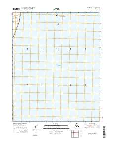
2014 Map of Kotzebue B-4 NE
USGS Topo · Published 2014About this map
Kotzebue Sound defines the lower half of this 2014 survey, illustrating the coastal transition where the water meets the northern reaches of the Bering Land Bridge National Preserve. Located within the Northwest Arctic Borough, the map details the legal and geographic boundaries of the preserve, which protects a vital remnants of the land bridge that once connected Asia and North America. The landscape is characterized by its coastal orientation and the systematic grid of the Public Land Survey System, including t13n r23w, t12n r24w, and t11n r24w. This modern topographic study serves as a critical reference for understanding contemporary land management and conservation boundaries in a region defined by its prehistoric significance and isolated arctic geography.
Find a feature on this map
5 named features on this map. Tap any name to fly to it.
Don’t see what you’re looking for? This feature index may not catch every label — zoom into the map to look around manually.
Map Details
Editions of this 2014 Kotzebue B-4 NE Map
This is the sole edition of this map. No revisions or reprints were ever made.
Other maps of this area

1950 · Kotzebue B-4
USGS Topo · 1:63,360
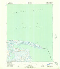
1950 · Kotzebue C-4
USGS Topo · 1:63,360

1951 · Kotzebue
USGS Topo · 1:250,000

1958 · Kotzebue
USGS Topo · 1:250,000

1964 · Kotzebue
USGS Topo · 1:250,000
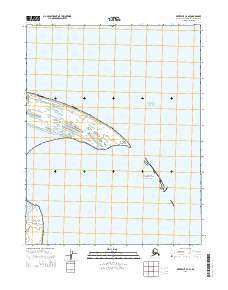
2014 · Kotzebue C-4 SE
USGS Topo · 1:25,000
2014 · Kotzebue B-4 SE
USGS Topo · 1:25,000
2014 · Kotzebue B-4 SW
USGS Topo · 1:25,000
2014 · Kotzebue C-4 SW
USGS Topo · 1:25,000
2014 · Kotzebue B-4 NW
USGS Topo · 1:25,000