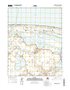
2014 Map of Kotzebue C-4 SW
USGS Topo · Published 2014About this map
Bering Land Bridge National Preserve encompasses the majority of this Arctic coastal landscape, where the waters of the Chukchi Sea meet the northern reaches of the Seward Peninsula. The settlement of Espenberg sits near the coast, positioned between the open sea and the complex wetland systems that define the interior terrain. The Espenberg River winds through a mosaic of thermokarst lakes and tundra, eventually draining toward the Kotzebue Sound to the east. This 2014 survey illustrates a dynamic coastal environment shaped by seasonal hydrological cycles, with the low-lying relief and extensive water bodies indicating a landscape highly sensitive to the shifting interface between land and sea in the Northwest Arctic.
Find a feature on this map
9 named features on this map. Tap any name to fly to it.
Don’t see what you’re looking for? This feature index may not catch every label — zoom into the map to look around manually.
Map Details
Editions of this 2014 Kotzebue C-4 SW Map
This is the sole edition of this map. No revisions or reprints were ever made.
Other maps of this area
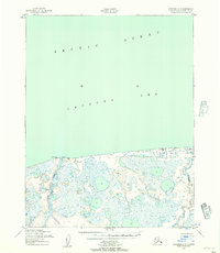
1950 · Kotzebue C-5
USGS Topo · 1:63,360

1950 · Kotzebue B-4
USGS Topo · 1:63,360

1950 · Kotzebue B-5
USGS Topo · 1:63,360
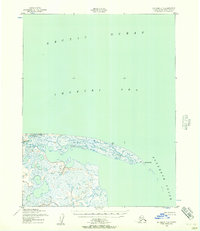
1950 · Kotzebue C-4
USGS Topo · 1:63,360

1951 · Kotzebue
USGS Topo · 1:250,000

1958 · Kotzebue
USGS Topo · 1:250,000

1964 · Kotzebue
USGS Topo · 1:250,000
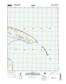
2014 · Kotzebue C-4 SE
USGS Topo · 1:25,000
2014 · Kotzebue B-4 NE
USGS Topo · 1:25,000
2014 · Kotzebue B-5 NE
USGS Topo · 1:25,000