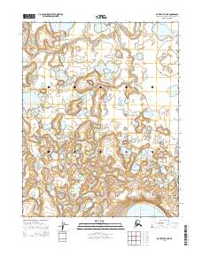
2014 Map of Kotzebue B-5 NE
USGS Topo · Published 2014About this map
The Bering Land Bridge National Preserve dominates this remote landscape, protecting a massive volcanic and tundra ecosystem that once formed the vital corridor between Asia and North America. The terrain is characterized by a dense network of thermokarst ponds and drainage systems, most notably the meandering Espenberg River and its tributary, the W Fork Espenberg River. These waterways carve through the low-lying coastal plain, reflecting the dynamic permafrost processes that shape the Arctic environment. In the southeastern corner, the Killeak Lakes appear as significant inland water bodies, likely formed within ancient volcanic maar craters. The map reveals no roads or permanent settlements, instead documenting a wilderness of immense geological and archaeological importance where the ancient migration patterns of early humans and Pleistocene megafauna are etched into the very soil of the Seward Peninsula.
Find a feature on this map
10 named features on this map. Tap any name to fly to it.
Don’t see what you’re looking for? This feature index may not catch every label — zoom into the map to look around manually.
Map Details
Editions of this 2014 Kotzebue B-5 NE Map
This is the sole edition of this map. No revisions or reprints were ever made.
Other maps of this area
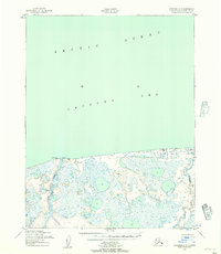
1950 · Kotzebue C-5
USGS Topo · 1:63,360

1950 · Kotzebue B-4
USGS Topo · 1:63,360

1950 · Kotzebue B-5
USGS Topo · 1:63,360
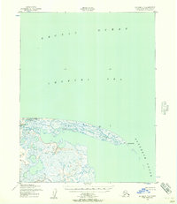
1950 · Kotzebue C-4
USGS Topo · 1:63,360

1951 · Kotzebue
USGS Topo · 1:250,000

1958 · Kotzebue
USGS Topo · 1:250,000

1964 · Kotzebue
USGS Topo · 1:250,000
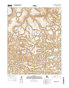
2014 · Kotzebue B-5 SW
USGS Topo · 1:25,000
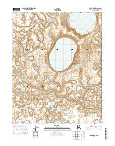
2014 · Kotzebue B-5 SE
USGS Topo · 1:25,000
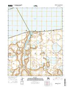
2014 · Kotzebue C-5 SW
USGS Topo · 1:25,000