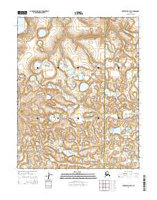
2014 Map of Kotzebue B-5 SW
USGS Topo · Published 2014About this map
The Bering Land Bridge National Preserve dominates this Arctic landscape, representing a remote portion of the Seward Peninsula. This 2014 survey captures a wilderness environment defined by glacial and volcanic history, where the Devil Mountain Lakes occupy the northwestern corner of the quadrangle. The hydrology of the region is characterized by winding watercourses such as the Kougachuk Cr and the Kitluk River, which navigate a low-lying terrain of tundra and numerous unnamed kettle lakes and ponds. Situated at the boundary of the Nome Census Area and the Northwest Arctic Borough, the map illustrates the vast, uninhabited stretches of the Alaskan bush where section lines and township markers like t11n r27w provide the only formal human structure to the geography.
Find a feature on this map
9 named features on this map. Tap any name to fly to it.
Don’t see what you’re looking for? This feature index may not catch every label — zoom into the map to look around manually.
Map Details
Editions of this 2014 Kotzebue B-5 SW Map
This is the sole edition of this map. No revisions or reprints were ever made.
Other maps of this area

1950 · Kotzebue A-6
USGS Topo · 1:63,360

1950 · Kotzebue B-5
USGS Topo · 1:63,360

1950 · Kotzebue B-6
USGS Topo · 1:63,360

1950 · Kotzebue A-5
USGS Topo · 1:63,360

1951 · Kotzebue
USGS Topo · 1:250,000

1958 · Kotzebue
USGS Topo · 1:250,000

1964 · Kotzebue
USGS Topo · 1:250,000
2014 · Kotzebue A-5 NE
USGS Topo · 1:25,000
2014 · Kotzebue B-6 NE
USGS Topo · 1:25,000
2014 · Kotzebue B-5 SE
USGS Topo · 1:25,000