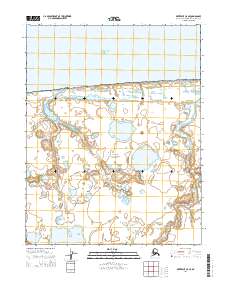
2014 Map of Kotzebue C-5 SE
USGS Topo · Published 2014About this map
Bering Land Bridge National Preserve dominates this coastal landscape in the Northwest Arctic Borough, where the land meets the Chukchi Sea. The terrain is characterized by a dense network of tundra ponds and lakes, a classic thermokarst landscape that defines the Seward Peninsula's northern reaches. This 2014 survey captures the intricate drainage patterns of the Espenberg River, which meanders through the eastern portion of the sheet toward the sea. The map serves as a detailed record of this protected wilderness area, showing the precise township and range boundaries including t14n r26w and t13n r25w. Researchers can trace the complex shoreline and inland water systems of this remote Arctic environment as they existed in the early twenty-first century.
Find a feature on this map
7 named features on this map. Tap any name to fly to it.
Don’t see what you’re looking for? This feature index may not catch every label — zoom into the map to look around manually.
Map Details
Editions of this 2014 Kotzebue C-5 SE Map
This is the sole edition of this map. No revisions or reprints were ever made.
Other maps of this area
1950 · Kotzebue C-5
USGS Topo · 1:63,360

1950 · Kotzebue B-4
USGS Topo · 1:63,360

1950 · Kotzebue B-5
USGS Topo · 1:63,360
1950 · Kotzebue C-4
USGS Topo · 1:63,360

1951 · Kotzebue
USGS Topo · 1:250,000

1958 · Kotzebue
USGS Topo · 1:250,000

1964 · Kotzebue
USGS Topo · 1:250,000
2014 · Kotzebue B-5 NE
USGS Topo · 1:25,000
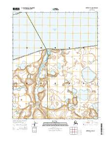
2014 · Kotzebue C-5 SW
USGS Topo · 1:25,000
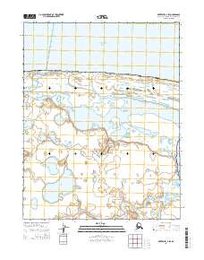
2014 · Kotzebue C-4 SW
USGS Topo · 1:25,000