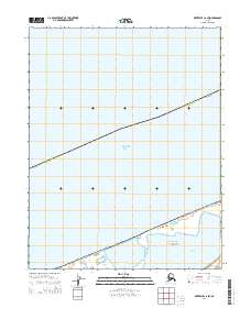
2014 Map of Kotzebue C-6 SW
USGS Topo · Published 2014About this map
Chukchi Sea waters dominate the northern reaches of this coastal Alaskan landscape, where the shifting boundaries of the Nome Census Area meet the shoreline. The map centers on a significant portion of the Bering Land Bridge National Preserve, a protected area established to safeguard the prehistoric corridor between continents. Along the southern edge, the waters of Shishmaref Inlet provide a critical transition between the open sea and the mainland, near the coastal feature of Kividlo. This 2014 survey documents the modern coastal contours and the administrative divisions of townships t13n r29w and t13n r28w, showing a landscape defined by its marine proximity and federal preservation status.
Find a feature on this map
7 named features on this map. Tap any name to fly to it.
Don’t see what you’re looking for? This feature index may not catch every label — zoom into the map to look around manually.
Map Details
Editions of this 2014 Kotzebue C-6 SW Map
This is the sole edition of this map. No revisions or reprints were ever made.
Other maps of this area

1950 · Kotzebue C-6
USGS Topo · 1:63,360

1950 · Shishmaref
USGS Topo · 1:250,000

1950 · Shishmaref B-1
USGS Topo · 1:63,360

1950 · Kotzebue B-6
USGS Topo · 1:63,360

1951 · Shishmaref
USGS Topo · 1:250,000

1951 · Kotzebue
USGS Topo · 1:250,000

1958 · Kotzebue
USGS Topo · 1:250,000

1964 · Kotzebue
USGS Topo · 1:250,000
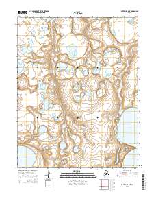
2014 · Kotzebue B-6 NE
USGS Topo · 1:25,000
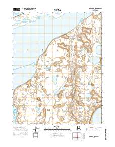
2014 · Kotzebue B-6 NW
USGS Topo · 1:25,000