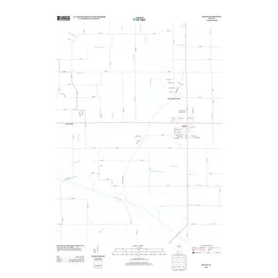
2013 Map of Kouts
USGS Topo · Published 2013About this map
The Kankakee River winds along the southern edge of this landscape, defining a region where natural drainage has been heavily modified by an extensive network of man-made channels. The town of Kouts serves as the primary hub, situated at a significant crossroads where several local thoroughfares converge. Further west, the settlement of Aylesworth sits near the crossing of a major east-west line, while Five Points Corner marks a distinct junction to the north.
Find a feature on this map
85 named features on this map. Tap any name to fly to it.
Don’t see what you’re looking for? This feature index may not catch every label — zoom into the map to look around manually.
Map Details
Editions of this 2013 Kouts Map
This is the sole edition of this map. No revisions or reprints were ever made.
Other maps of this area

1953 · Palmer
USGS Topo · 1:24,000

1953 · Wanatah
USGS Topo · 1:24,000

1953 · Hebron
USGS Topo · 1:24,000

1953 · Valparaiso
USGS Topo · 1:24,000

1953 · Kouts
USGS Topo · 1:24,000

1953 · Chicago
USGS Topo · 1:250,000

1957 · Chicago
USGS Topo · 1:250,000

1957 · Wheatfield
USGS Topo · 1:24,000

1957 · DeMotte
USGS Topo · 1:24,000

1958 · La Crosse
USGS Topo · 1:24,000