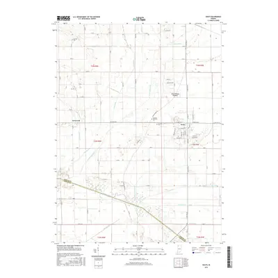
2016 Map of Kouts
USGS Topo · Published 2016About this map
Kouts serves as the primary hub of this landscape, situated at the junction of E State Rd 8 and several local routes. The surrounding terrain is defined by an extensive and complex drainage network, reflecting the historical reclamation of the Kankakee marshlands for agriculture. This engineered water system includes major channels like Sandy Hook Ditch, Cobb Ditch, and Ahlgrim Ditch, all moving water toward the Kankakee River which forms the border between Porter Co and Jasper Co.
Find a feature on this map
88 named features on this map. Tap any name to fly to it.
Don’t see what you’re looking for? This feature index may not catch every label — zoom into the map to look around manually.
Map Details
Editions of this 2016 Kouts Map
This is the sole edition of this map. No revisions or reprints were ever made.
Other maps of this area

1953 · Palmer
USGS Topo · 1:24,000

1953 · Wanatah
USGS Topo · 1:24,000

1953 · Hebron
USGS Topo · 1:24,000

1953 · Valparaiso
USGS Topo · 1:24,000

1953 · Kouts
USGS Topo · 1:24,000

1953 · Chicago
USGS Topo · 1:250,000

1957 · Chicago
USGS Topo · 1:250,000

1957 · Wheatfield
USGS Topo · 1:24,000

1957 · DeMotte
USGS Topo · 1:24,000

1958 · La Crosse
USGS Topo · 1:24,000