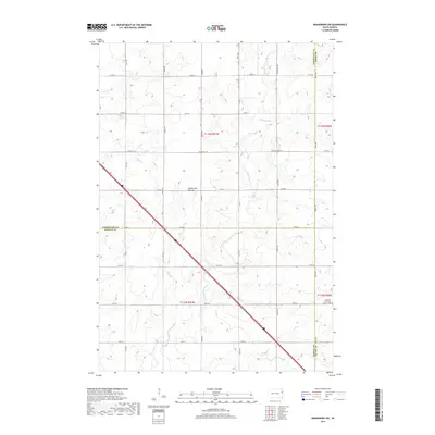
2017 Map of Kranzburg SW
USGS Topo · Published 2017About this map
Coteau des Prairies, a prominent glacial upland, dominates the landscape of this 2017 study of eastern South Dakota. The map captures a rural agricultural section where the boundaries of Codington, Deuel, and Hamlin counties meet. The drainage of Stray Horse Creek meanders across the township lines, defining the local topography alongside a grid of section roads like 180th St and Co Rd 4. While much of the area is given to open land, the presence of the Christian Reformed church and an adjacent Cem (cemetery) in the southeastern corner serves as a central point for the local community history. This document provides a clear view of the section-line settlement patterns and hydrological features that have shaped the region since its surveying.
Find a feature on this map
24 named features on this map. Tap any name to fly to it.
Don’t see what you’re looking for? This feature index may not catch every label — zoom into the map to look around manually.
Map Details
Editions of this 2017 Kranzburg SW Map
This is the sole edition of this map. No revisions or reprints were ever made.
Other maps of this area

1953 · Watertown
USGS Topo · 1:250,000

1958 · Watertown
USGS Topo · 1:250,000

1969 · Dempster
USGS Topo · 1:24,000

1969 · Castlewood
USGS Topo · 1:24,000

1969 · Watertown SE
USGS Topo · 1:24,000

1969 · Watertown East
USGS Topo · 1:24,000

1970 · Kranzburg SW
USGS Topo · 1:24,000

1970 · Kranzburg
USGS Topo · 1:24,000

1970 · Bemis
USGS Topo · 1:24,000

1970 · Goodwin
USGS Topo · 1:24,000
Featured Places
- Goodwin Township, SD
- Havana Township, SD
- Kranzburg South Township, SD
- Hamlin Township, SD
- Codington County, SD