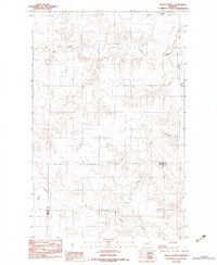
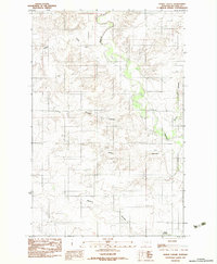
1983 Map of Kraut Coulee
USGS Topo · Published 1983About this map
Wolf Creek and its complex network of seasonal drainage channels define this landscape along the border of McCone and Dawson counties. The terrain is characterized by the intricate relief of the Montana plains, where the Redwater River flows northward through the eastern edge of the quadrangle. A notable human modification to the natural hydrology is the Boardman Ditch, which follows the contours of the Wolf Creek valley, illustrating early irrigation efforts in this semi-arid region.
Find a feature on this map
7 named features on this map. Tap any name to fly to it.
Don’t see what you’re looking for? This feature index may not catch every label — zoom into the map to look around manually.
Map Details
Editions of this 1983 Kraut Coulee Map
This is the sole edition of this map. No revisions or reprints were ever made.
Other maps of this area

1954 · Glendive
USGS Topo · 1:250,000

1957 · Glendive
USGS Topo · 1:250,000

1958 · Glendive
USGS Topo · 1:250,000
1983 · Sullivan Coulee
USGS Topo · 1:24,000

1983 · Buffalo Creek NE
USGS Topo · 1:24,000
1983 · Gady Coulee
USGS Topo · 1:24,000

1983 · Beery Reservoir
USGS Topo · 1:24,000

1983 · Richey NW
USGS Topo · 1:24,000
1983 · Lisk Creek
USGS Topo · 1:24,000
1983 · Dowse Coulee
USGS Topo · 1:24,000