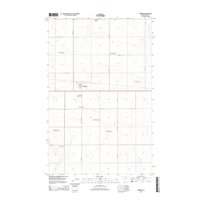
2014 Map of Kremlin
USGS Topo · Published 2014About this map
Kremlin serves as the central hub of this northern Montana landscape, situated along the east-west corridor of Us-2. The township's grid is clearly defined by numbered streets like 1st Ave and 2nd Ave, reflecting a small-town layout surrounded by vast agricultural and ranching tracts. The geography is characterized by several prominent coulees that carve through the terrain, including Wild Rose Coulee, Chain of Lakes Coulee, and Sprinkle Coulee. These features signify the drainage patterns essential to the local environment and land use. To the south, Sorenson Airport provides a point of regional connectivity, while a meticulous network of section roads like Road 20 N and Kremlin Rd facilitates transport across the open plains of Hill County.
Find a feature on this map
28 named features on this map. Tap any name to fly to it.
Don’t see what you’re looking for? This feature index may not catch every label — zoom into the map to look around manually.
Map Details
Editions of this 2014 Kremlin Map
This is the sole edition of this map. No revisions or reprints were ever made.
Other maps of this area

1904 · Assinniboine
USGS Topo · 1:62,500

1904 · Boxelder
USGS Topo · 1:62,500

1906 · Kremlin
USGS Topo · 1:62,500

1906 · Boxelder
USGS Topo · 1:62,500

1912 · Thibedeau Lake
USGS Topo · 1:125,000

1919 · Big Sandy
USGS Topo · 1:125,000

1920 · Gildford
USGS Topo · 1:125,000

1943 · Gildford
USGS Topo · 1:125,000

1953 · Havre
USGS Topo · 1:250,000

1954 · Shelby
USGS Topo · 1:250,000