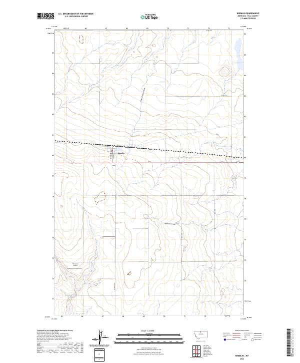
2024 Map of Kremlin
USGS Topo · Published 2024About this map
Kremlin serves as the central hub of this prairie landscape, where the local street grid is defined by Central and Rail St. The settlement's orientation to the rail line is evident in its layout, which transitions into the wide agricultural expanses of Hill County. The surrounding terrain is carved by long, winding drainage features including Chain of Lakes Coulee and Sprinkle Coulee, which disrupt the otherwise orderly grid of section lines and county roads like S Kremlin Rd. To the southwest, Sorenson Airport provides a specialized landmark in a region dominated by grain production and open range. This 2024 data highlights the persistent structure of small-town Montana, from its named streets to the rural routes that connect isolated farmsteads across the northern plains.
Find a feature on this map
18 named features on this map. Tap any name to fly to it.
Don’t see what you’re looking for? This feature index may not catch every label — zoom into the map to look around manually.
Map Details
Editions of this 2024 Kremlin Map
This is the sole edition of this map. No revisions or reprints were ever made.
Other maps of this area

1904 · Assinniboine
USGS Topo · 1:62,500

1904 · Boxelder
USGS Topo · 1:62,500

1906 · Kremlin
USGS Topo · 1:62,500

1906 · Boxelder
USGS Topo · 1:62,500

1912 · Thibedeau Lake
USGS Topo · 1:125,000

1919 · Big Sandy
USGS Topo · 1:125,000

1920 · Gildford
USGS Topo · 1:125,000

1943 · Gildford
USGS Topo · 1:125,000

1953 · Havre
USGS Topo · 1:250,000

1954 · Shelby
USGS Topo · 1:250,000