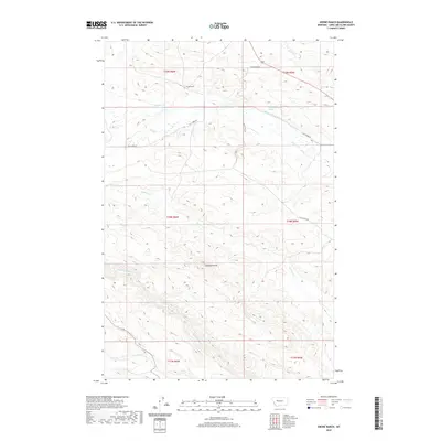
2020 Map of Krone Ranch
USGS Topo · Published 2020About this map
Krone Ranch anchors this portion of Lewis and Clark County, where the high-plains landscape is defined by an intricate network of water management and natural drainages. This 2020 survey illustrates the vital role of irrigation in the region, tracing the path of the Bean-Embody Ditch and the Dearborn Canal as they move water across the terrain. The Dearborn River cuts through the southern reaches, joined by tributaries such as Auchard Cr and Gillette Cr. To the north, the Soap Cr Reservoir and the prominent height of Gobblers Knob serve as distinct geographic markers. The infrastructure of the area is further detailed through historical thoroughfares like Black Rock Rd and Flat Creek Rd, which provide access to the remote ranching lands between the mountain fronts and the river valleys.
Find a feature on this map
20 named features on this map. Tap any name to fly to it.
Don’t see what you’re looking for? This feature index may not catch every label — zoom into the map to look around manually.
Map Details
Editions of this 2020 Krone Ranch Map
This is the sole edition of this map. No revisions or reprints were ever made.
Other maps of this area

1943 · Hogan
USGS Topo · 1:125,000

1955 · Choteau
USGS Topo · 1:250,000

1957 · Choteau
USGS Topo · 1:250,000

1958 · Choteau
USGS Topo · 1:250,000
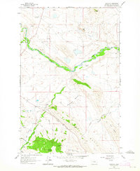
1961 · Comb Rock
USGS Topo · 1:24,000

1962 · Choteau
USGS Topo · 1:250,000
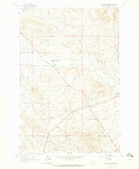
1962 · Bowmans Corners
USGS Topo · 1:24,000
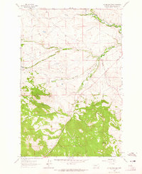
1962 · Johnson Mountain
USGS Topo · 1:24,000
1963 · Bowmans Corners NW
USGS Topo · 1:24,000
1963 · Blowout Mountain
USGS Topo · 1:24,000
Featured Places
- Lower Ellis Place, MT
- La Chapelle Place, MT
- Upper Ellis Place, MT
- Lewis and Clark County, MT
- United States