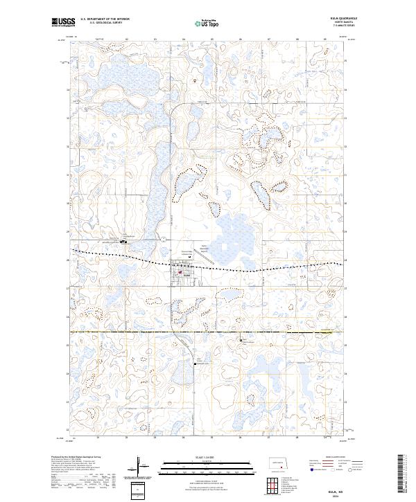
2024 Map of Kulm
USGS Topo · Published 2024About this map
Kulm serves as the central hub of this prairie landscape, where the intersection of a grid-iron road network and the railroad legacy at Railroad St defines the local geography. The settlement's history is deeply reflected in its surrounding burial grounds, including the Hillside Cem, Kulm Congregational Cem, and the Assembly of God Cem. The map illustrates a community shaped by its faith and heritage, with outlying rural churches and cemeteries such as the Pomona Valley Lutheran Cem and Saint Paul's Lutheran Cem marking the sections of the high plains.
Find a feature on this map
33 named features on this map. Tap any name to fly to it.
Don’t see what you’re looking for? This feature index may not catch every label — zoom into the map to look around manually.
Map Details
Editions of this 2024 Kulm Map
This is the sole edition of this map. No revisions or reprints were ever made.
Other maps of this area

1896 · Edgeley
USGS Topo · 1:125,000

1925 · Edgeley
USGS Topo · 1:125,000

1953 · Jamestown
USGS Topo · 1:250,000

1956 · Jamestown
USGS Topo · 1:250,000

1971 · Merricourt
USGS Topo · 1:24,000

1971 · Merricourt NW
USGS Topo · 1:24,000

1982 · Coldwater Lake NE
USGS Topo · 1:24,000

1982 · Fredonia
USGS Topo · 1:24,000

1982 · Schlecht-Weixel Dam
USGS Topo · 1:24,000

1982 · Deisem
USGS Topo · 1:24,000