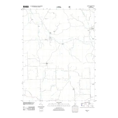
2011 Map of Kurtz
USGS Topo · Published 2011About this map
Kurtz and the neighboring settlements of Freetown and Clear Spring define the human geography of this rural Jackson County landscape. The drainage of South Fork Salt Creek and its many tributaries, including Tipton Creek, Bee Creek, and Guthrie Creek, create a deeply etched valley system. These watercourses are punctuated by family-named terrain features like Blind Horse Hollow and Hound Hollow, which reveal the local naming traditions of the area.
Find a feature on this map
45 named features on this map. Tap any name to fly to it.
Don’t see what you’re looking for? This feature index may not catch every label — zoom into the map to look around manually.
Map Details
Editions of this 2011 Kurtz Map
This is the sole edition of this map. No revisions or reprints were ever made.
Other maps of this area

1934 · Bedford
USGS Topo · 1:48,000

1937 · Bedford
USGS Topo · 1:62,500

1942 · Franklin
USGS Topo · 1:125,000

1947 · Elkinsville
USGS Topo · 1:24,000

1948 · Waymansville
USGS Topo · 1:24,000
1950 · Elkinsville
USGS Topo · 1:24,000

1953 · Indianapolis
USGS Topo · 1:250,000

1956 · Indianapolis
USGS Topo · 1:250,000

1956 · Story
USGS Topo · 1:24,000

1956 · Vincennes
USGS Topo · 1:250,000