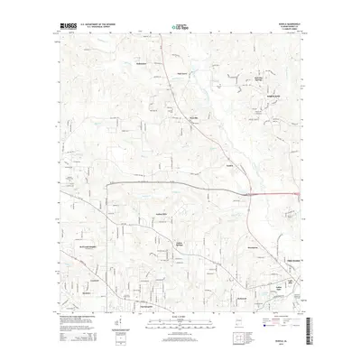
2014 Map of Kushla
USGS Topo · Published 2014About this map
Chickasaw Creek and its many tributaries, including Magee Cr and Seabury Cr, carve a complex drainage pattern across this portion of Mobile County. The landscape is defined by a cluster of suburban and rural communities such as Kushla, Mauvilla, and Eight Mile, where residential growth is woven into the rolling terrain. Transportation corridors like Us-45 and Al-158 link these settlements, while Old Citronelle Hwy suggests the area's older transit roots. Institutional and commemorative sites are prominent, featuring the Univ of Mobile campus near Rosehaven and several historic burial grounds including Mauvilla Cem and Crawford Chapel Cem. The transition from the dense street grids of Saraland and Prichard in the east to the more dispersed residential pockets of Semmes and Crawford in the west illustrates the varied pace of development in the Mobile metropolitan fringe.
Find a feature on this map
98 named features on this map. Tap any name to fly to it.
Don’t see what you’re looking for? This feature index may not catch every label — zoom into the map to look around manually.
Map Details
Editions of this 2014 Kushla Map
This is the sole edition of this map. No revisions or reprints were ever made.
Other maps of this area

1922 · Mobile
USGS Topo · 1:62,500

1940 · Mobile
USGS Topo · 1:31,680

1940 · Mobile
USGS Topo · 1:62,500

1941 · Chickasaw
USGS Topo · 1:31,680

1941 · Hurley
USGS Topo · 1:62,500

1941 · Creola
USGS Topo · 1:62,500

1942 · Kushla
USGS Topo · 1:31,680

1942 · Wilmer
USGS Topo · 1:62,500

1943 · Creola
USGS Topo · 1:62,500

1943 · Chickasaw
USGS Topo · 1:31,680