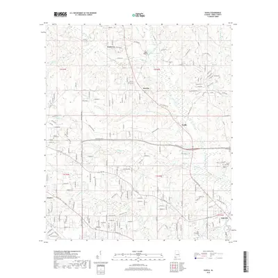
2018 Map of Kushla
USGS Topo · Published 2018About this map
Chickasaw Creek and its many tributaries, including Magee Cr and Seabury Cr, define the landscape northwest of Mobile. This suburban and rural interface shows the transition from the concentrated campus of the Univ of Mobile and the community of Eight Mile toward the more dispersed settlements of Kushla and Mauvilla. The map captures a detailed network of local roads such as Old Citronelle Hwy and Kushla Station Rd, reflecting the area's development. Local history is anchored by several cemeteries including Mauvilla Cem, Crawford Chapel Cem, and Valhalla Gardens Cem, which serve as permanent markers of the region's long-standing family lineages. The terrain is marked by distinct drainage patterns like Rocky Run and Double Branch, showing how the hydrology influenced the placement of early settlements like Smithtown and Oak Grove.
Find a feature on this map
156 named features on this map. Tap any name to fly to it.
Don’t see what you’re looking for? This feature index may not catch every label — zoom into the map to look around manually.
Map Details
Editions of this 2018 Kushla Map
This is the sole edition of this map. No revisions or reprints were ever made.
Other maps of this area

1922 · Mobile
USGS Topo · 1:62,500

1940 · Mobile
USGS Topo · 1:31,680

1940 · Mobile
USGS Topo · 1:62,500

1941 · Chickasaw
USGS Topo · 1:31,680

1941 · Hurley
USGS Topo · 1:62,500

1941 · Creola
USGS Topo · 1:62,500

1942 · Kushla
USGS Topo · 1:31,680

1942 · Wilmer
USGS Topo · 1:62,500

1943 · Creola
USGS Topo · 1:62,500

1943 · Chickasaw
USGS Topo · 1:31,680