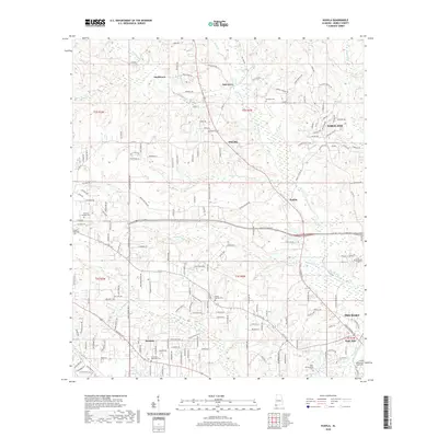
2020 Map of Kushla
USGS Topo · Published 2020About this map
Chickasaw Creek and its many tributaries, including Magee Cr and Seabury Cr, define the drainage patterns of this Mobile County landscape. The map captures a transition between the established northern communities of Smithtown and Mauvilla and the expanding residential footprints of Semmes and Saraland. This era shows a high density of memorial sites and educational institutions, most notably the University of Mobile campus and numerous regional burial grounds such as Valhalla Gardens Cem and Indian Springs Cem. The intricate network of local roads like Kali Oka Rd and Lott Rd illustrates the suburban infill occurring between the historic creek bottoms and the higher ridges of Oak Hill DR, providing a clear view of the area's modern development just before the latest decade of growth.
Find a feature on this map
182 named features on this map. Tap any name to fly to it.
Don’t see what you’re looking for? This feature index may not catch every label — zoom into the map to look around manually.
Map Details
Editions of this 2020 Kushla Map
This is the sole edition of this map. No revisions or reprints were ever made.
Other maps of this area

1922 · Mobile
USGS Topo · 1:62,500

1940 · Mobile
USGS Topo · 1:31,680

1940 · Mobile
USGS Topo · 1:62,500

1941 · Chickasaw
USGS Topo · 1:31,680

1941 · Hurley
USGS Topo · 1:62,500

1941 · Creola
USGS Topo · 1:62,500

1942 · Kushla
USGS Topo · 1:31,680

1942 · Wilmer
USGS Topo · 1:62,500

1943 · Creola
USGS Topo · 1:62,500

1943 · Chickasaw
USGS Topo · 1:31,680