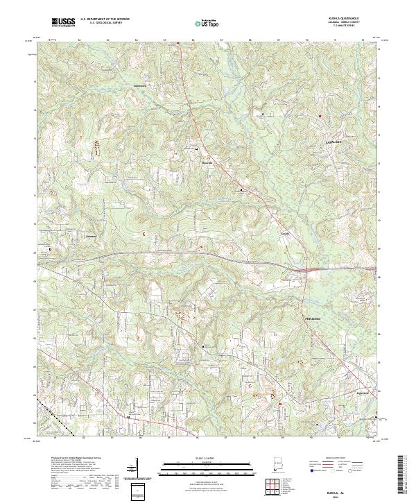
2024 Map of Kushla
USGS Topo · Published 2024About this map
Chickasaw Creek snakes through this portion of Mobile County, defining a landscape where rural settlements meet the expanding suburban fringes. The area features several distinct communities including Mauvilla, Kushla, and Smithtown, each connected by a network of historic routes like Old Citronelle Hwy and Kushla Station Rd. Genealogists will find significant value in the numerous burial grounds documented here, from Mauvilla Cem and Indian Springs Cem to the Valhalla Gardens Cem. The southern reach of the map shows the transition into more densely populated areas near Saraland and Prichard, while the presence of the University of Mobile near Seabury Creek highlights the local educational infrastructure. The terrain is characterized by a dense web of waterways, including Williams Creek, Magee Creek, and Rocky Run, which have historically influenced the settlement patterns of these coastal plain communities.
Find a feature on this map
185 named features on this map. Tap any name to fly to it.
Don’t see what you’re looking for? This feature index may not catch every label — zoom into the map to look around manually.
Map Details
Editions of this 2024 Kushla Map
This is the sole edition of this map. No revisions or reprints were ever made.
Other maps of this area

1922 · Mobile
USGS Topo · 1:62,500

1940 · Mobile
USGS Topo · 1:31,680

1940 · Mobile
USGS Topo · 1:62,500

1941 · Chickasaw
USGS Topo · 1:31,680

1941 · Hurley
USGS Topo · 1:62,500

1941 · Creola
USGS Topo · 1:62,500

1942 · Kushla
USGS Topo · 1:31,680

1942 · Wilmer
USGS Topo · 1:62,500

1943 · Creola
USGS Topo · 1:62,500

1943 · Chickasaw
USGS Topo · 1:31,680