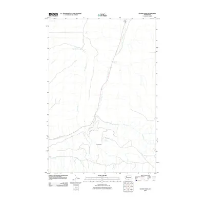
2011 Map of Kusshi Creek
USGS Topo · Published 2011About this map
Kusshi Creek flows through this corner of Yakima County, carving a path toward the larger drainage system of Satus Creek. The landscape is defined by its drainages and natural water sources, including Highbridge Spring and Lane Spring, which suggest a reliance on these features in an otherwise arid environment. Evidence of human infrastructure is represented by Bureau of Indian Affairs routes, such as Bia 83 RD and Bia 280 RD, which weave through the terrain to connect remote points. To the south, the topography transitions near Devils Pocket and the winding course of Shinando Creek. This 2011 survey by the U.S. Geological Survey captures a sparsely populated region where geography is primarily marked by named canyons and creek beds like Lizzy Canyon and Bull Creek.
Find a feature on this map
14 named features on this map. Tap any name to fly to it.
Don’t see what you’re looking for? This feature index may not catch every label — zoom into the map to look around manually.
Map Details
Editions of this 2011 Kusshi Creek Map
This is the sole edition of this map. No revisions or reprints were ever made.
Other maps of this area

1910 · Zillah
USGS Topo · 1:125,000

1916 · Arlington
USGS Topo · 1:125,000

1937 · White Swan
USGS Topo · 1:125,000

1950 · Yakima
USGS Topo · 1:250,000

1953 · The Dalles
USGS Topo · 1:250,000

1956 · The Dalles
USGS Topo · 1:250,000

1957 · The Dalles
USGS Topo · 1:250,000

1957 · Satus Pass
USGS Topo · 1:62,500

1958 · Yakima
USGS Topo · 1:250,000

1961 · Yakima
USGS Topo · 1:250,000