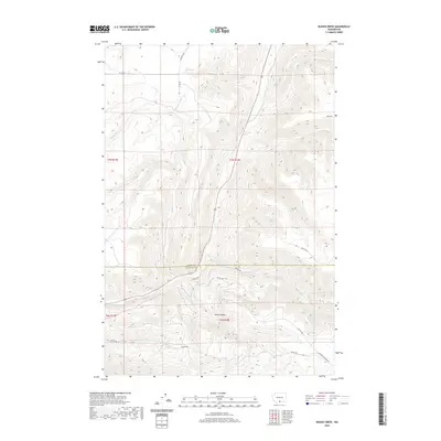
2020 Map of Kusshi Creek
USGS Topo · Published 2020About this map
Kusshi Cr and Satus Cr define the drainage patterns of this high-elevation landscape along the border of Yakima and Klickitat counties. The terrain is marked by significant topographical relief, including the bowl-like depression of Devils Pocket and the sharp descent into Shinando Canyon Rd. Water sources are critical landmarks in this environment, with Lane Spring, Highbridge Spring, and County-Line Spring situated along the slopes and valley floors. A network of Bureau of Indian Affairs routes, such as Bia RD 79 and Bia RD 288, provides the primary access through the region, connecting isolated points like the area surrounding Cemetery Rd. The map illustrates a complex intersection of public land survey sections and tribal infrastructure, where named roads like Tomith Rd follow the natural contours of the ridges and creek beds.
Find a feature on this map
23 named features on this map. Tap any name to fly to it.
Don’t see what you’re looking for? This feature index may not catch every label — zoom into the map to look around manually.
Map Details
Editions of this 2020 Kusshi Creek Map
This is the sole edition of this map. No revisions or reprints were ever made.
Other maps of this area

1910 · Zillah
USGS Topo · 1:125,000

1916 · Arlington
USGS Topo · 1:125,000

1937 · White Swan
USGS Topo · 1:125,000

1950 · Yakima
USGS Topo · 1:250,000

1953 · The Dalles
USGS Topo · 1:250,000

1956 · The Dalles
USGS Topo · 1:250,000

1957 · The Dalles
USGS Topo · 1:250,000

1957 · Satus Pass
USGS Topo · 1:62,500

1958 · Yakima
USGS Topo · 1:250,000

1961 · Yakima
USGS Topo · 1:250,000