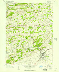
1956 Map of Kutztown
USGS Topo · Published 1957About this map
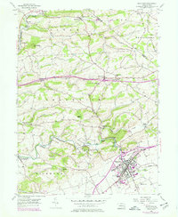
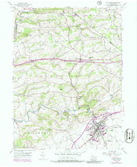
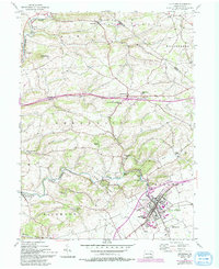
The Kutztown State Teachers College serves as a prominent anchor in the southeastern corner of this map, characterizing the mid-century growth of this Berks County community. The Reading railroad lines connect the valley floor, passing through Virginville and Kutztown, while the William Penn Highway cuts a modern path through the rolling hills of Greenwich and Maxatawny townships. This 1950s landscape is deeply rooted in its rural traditions, evidenced by a cluster of named houses of worship including the Bethel-Zions Ch and the Old Order Ch.
Find a feature on this map
52 named features on this map. Tap any name to fly to it.
Don’t see what you’re looking for? This feature index may not catch every label — zoom into the map to look around manually.
Map Details
Editions of this 1956 Kutztown Map
7 editions found
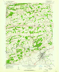
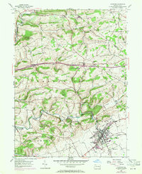
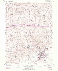
Other maps of this area

1894 · Reading
USGS Topo · 1:62,500

1902 · Boyertown
USGS Topo · 1:62,500

1902 · Slatington
USGS Topo · 1:62,500

1909 · Hamburg
USGS Topo · 1:62,500

1911 · Hamburg
USGS Topo · 1:62,500

1913 · Reading
USGS Topo · 1:62,500

1915 · Reading
USGS Topo · 1:62,500

1937 · Allentown West
USGS Topo · 1:48,000

1942 · Allentown West
USGS Topo · 1:62,500

1943 · Manatawny
USGS Topo · 1:31,680