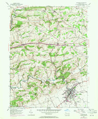
1956 Map of Kutztown
USGS Topo · Published 1971About this map
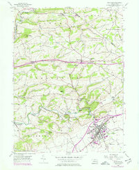
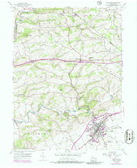
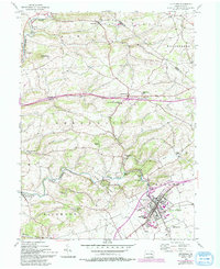
Kutztown State Teachers College serves as a prominent anchor in the southeastern portion of this landscape, marking the growth of the Kutztown borough during the mid-20th century. The surrounding terrain is defined by the winding course of Sacony Creek, which is spanned by several structures including the Dietrichs Mill Bridge and Heffners Bridge. This area of Berks County maintains a strong rural character, evidenced by the numerous small settlements like Klinesville, Grimville, and Krumsville connected by a network of local roads and the Reading railroad line.
Find a feature on this map
49 named features on this map. Tap any name to fly to it.
Don’t see what you’re looking for? This feature index may not catch every label — zoom into the map to look around manually.
Map Details
Editions of this 1956 Kutztown Map
7 editions found
Other maps of this area

1894 · Reading
USGS Topo · 1:62,500

1902 · Boyertown
USGS Topo · 1:62,500

1902 · Slatington
USGS Topo · 1:62,500

1909 · Hamburg
USGS Topo · 1:62,500

1911 · Hamburg
USGS Topo · 1:62,500

1913 · Reading
USGS Topo · 1:62,500

1915 · Reading
USGS Topo · 1:62,500

1937 · Allentown West
USGS Topo · 1:48,000

1942 · Allentown West
USGS Topo · 1:62,500

1943 · Manatawny
USGS Topo · 1:31,680