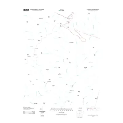
2013 Map of Kuwohi
USGS Topo · Published 2013About this map
Clingmans Dome stands as the central focal point of this high-altitude landscape along the Tennessee and North Carolina border. The terrain is defined by a dense network of ridges and gaps, where the National Park Rd and Clingmans Dome Rd navigate the steep elevations past Webb Overlook and Collins Gap. Lower elevations toward the south reveal the junction of numerous watercourses, including Deep Creek and Noland Creek, which drain the southern slopes near Bryson Place. For genealogists and local historians, the map preserves the names of numerous specific peaks and balds, such as Andrews Bald, Jerry Bald, and Sassafras Knob. These landmarks, along with the Bald Creek Campground and Mount Collins Shelter, illustrate the transition of this area from a working mountain landscape to a protected recreational wilderness within the Great Smoky Mountains.
Find a feature on this map
99 named features on this map. Tap any name to fly to it.
Don’t see what you’re looking for? This feature index may not catch every label — zoom into the map to look around manually.
Map Details
Editions of this 2013 Kuwohi Map
This is the sole edition of this map. No revisions or reprints were ever made.
Other maps of this area

1886 · Knoxville
USGS Topo · 1:125,000

1891 · Cowee
USGS Topo · 1:125,000

1892 · Knoxville
USGS Topo · 1:125,000

1893 · Mt Guyot
USGS Topo · 1:125,000

1894 · Knoxville
USGS Topo · 1:125,000

1895 · Knoxville
USGS Topo · 1:125,000

1897 · Cowee
USGS Topo · 1:125,000

1901 · Knoxville
USGS Topo · 1:125,000

1907 · Cowee
USGS Topo · 1:125,000

1912 · Mt Guyot
USGS Topo · 1:125,000