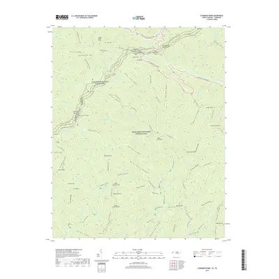
2019 Map of Kuwohi
USGS Topo · Published 2019About this map
Great Smoky Mountains National Park defines this landscape along the high divide between Tennessee and North Carolina. The 2019 survey documents a complex network of high-elevation gaps and ridges, including Newfound Gap and Indian Gap, which have served as critical passage points through the Smokies for generations. The map follows the high-crest route of the Appalachian National Scenic Trail as it traverses peaks like Mt Mingus and Mt Weaver.
Find a feature on this map
113 named features on this map. Tap any name to fly to it.
Don’t see what you’re looking for? This feature index may not catch every label — zoom into the map to look around manually.
Map Details
Editions of this 2019 Kuwohi Map
This is the sole edition of this map. No revisions or reprints were ever made.
Other maps of this area

1886 · Knoxville
USGS Topo · 1:125,000

1891 · Cowee
USGS Topo · 1:125,000

1892 · Knoxville
USGS Topo · 1:125,000

1893 · Mt Guyot
USGS Topo · 1:125,000

1894 · Knoxville
USGS Topo · 1:125,000

1895 · Knoxville
USGS Topo · 1:125,000

1897 · Cowee
USGS Topo · 1:125,000

1901 · Knoxville
USGS Topo · 1:125,000

1907 · Cowee
USGS Topo · 1:125,000

1912 · Mt Guyot
USGS Topo · 1:125,000