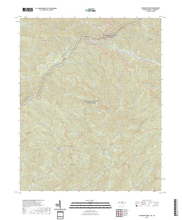
2022 Map of Kuwohi
USGS Topo · Published 2022About this map
Great Smoky Mountains National Park dominates this high-elevation survey, centered on the ridgeline that forms the Tennessee North Carolina state boundary and the divide between Sevier Co and Swain Co. The landscape is defined by its network of historic passages and high peaks, including Newfound Gap and the prominent Sugarland Mtn. Foot travel is central to this area, with the Appalachian National Scenic Trl tracing the crest while numerous historic paths like the Noland Divide Trl and Thomas Divide Trl descend into the deep valleys. Evidence of local history remains at the Jerry Flats Cem near Jim Ute Br, illustrating the human footprint in these heights before the modern park era. The map details the drainage patterns of the Little River and the numerous prongs and branches that feed into Deep Cr.
Find a feature on this map
108 named features on this map. Tap any name to fly to it.
Don’t see what you’re looking for? This feature index may not catch every label — zoom into the map to look around manually.
Map Details
Editions of this 2022 Kuwohi Map
This is the sole edition of this map. No revisions or reprints were ever made.
Other maps of this area

1886 · Knoxville
USGS Topo · 1:125,000

1891 · Cowee
USGS Topo · 1:125,000

1892 · Knoxville
USGS Topo · 1:125,000

1893 · Mt Guyot
USGS Topo · 1:125,000

1894 · Knoxville
USGS Topo · 1:125,000

1895 · Knoxville
USGS Topo · 1:125,000

1897 · Cowee
USGS Topo · 1:125,000

1901 · Knoxville
USGS Topo · 1:125,000

1907 · Cowee
USGS Topo · 1:125,000

1912 · Mt Guyot
USGS Topo · 1:125,000