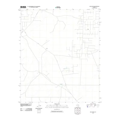
2010 Map of Kyle Ranch
USGS Topo · Published 2010About this map
Kyle Ranch sits at the heart of this sparsely populated corner of Loving County, illustrating the persistence of cattle ranching and resource extraction in West Texas during the early 21st century. The landscape is defined by its industrial infrastructure, most notably the El Mar Oil Field, which occupies a significant portion of the eastern quadrangle. Water management is critical in this arid environment, evidenced by the presence of Clifton Tank and Hackberry Tank, which serve as vital landmarks for both livestock and navigation. The primary transportation routes, Ranch Rd 652 and Co Rd 300, provide the essential links between these isolated operations and the broader region, reflecting a layout dictated by the demands of the oil and ranching industries.
Find a feature on this map
6 named features on this map. Tap any name to fly to it.
Don’t see what you’re looking for? This feature index may not catch every label — zoom into the map to look around manually.
Map Details
Editions of this 2010 Kyle Ranch Map
This is the sole edition of this map. No revisions or reprints were ever made.
Other maps of this area

1931 · Orla
USGS Topo · 1:62,500

1954 · Hobbs
USGS Topo · 1:250,000

1954 · Pecos
USGS Topo · 1:250,000

1957 · Pecos
USGS Topo · 1:250,000

1958 · Hobbs
USGS Topo · 1:250,000

1961 · Orla SE
USGS Topo · 1:24,000

1961 · Lindley Ranch
USGS Topo · 1:24,000

1968 · Orla NE
USGS Topo · 1:24,000

1968 · Phantom Banks
USGS Topo · 1:24,000

1969 · Kyle Ranch
USGS Topo · 1:24,000