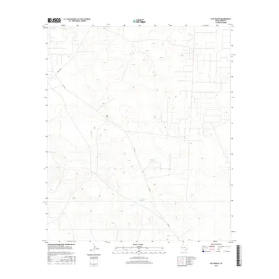
2016 Map of Kyle Ranch
USGS Topo · Published 2016About this map
Kyle Ranch sits as the central landmark in this high-desert reach of Loving County, representing the long-standing ranching tradition of West Texas. The landscape is defined by its subtle drainage patterns and essential water infrastructure, including Clifton Tank and Hackberry Tank, which serve as vital collection points in an arid environment. Transportation through the area is anchored by Ranch Rd 652, while a network of smaller routes like Co Rd 300 provides access across the open terrain. This survey reflects the modern configuration of property and infrastructure in one of the most sparsely populated counties in the United States, documenting the persistent human footprint in a challenging geography.
Find a feature on this map
5 named features on this map. Tap any name to fly to it.
Don’t see what you’re looking for? This feature index may not catch every label — zoom into the map to look around manually.
Map Details
Editions of this 2016 Kyle Ranch Map
This is the sole edition of this map. No revisions or reprints were ever made.
Other maps of this area

1931 · Orla
USGS Topo · 1:62,500

1954 · Hobbs
USGS Topo · 1:250,000

1954 · Pecos
USGS Topo · 1:250,000

1957 · Pecos
USGS Topo · 1:250,000

1958 · Hobbs
USGS Topo · 1:250,000

1961 · Orla SE
USGS Topo · 1:24,000

1961 · Lindley Ranch
USGS Topo · 1:24,000

1968 · Orla NE
USGS Topo · 1:24,000

1968 · Phantom Banks
USGS Topo · 1:24,000

1969 · Kyle Ranch
USGS Topo · 1:24,000